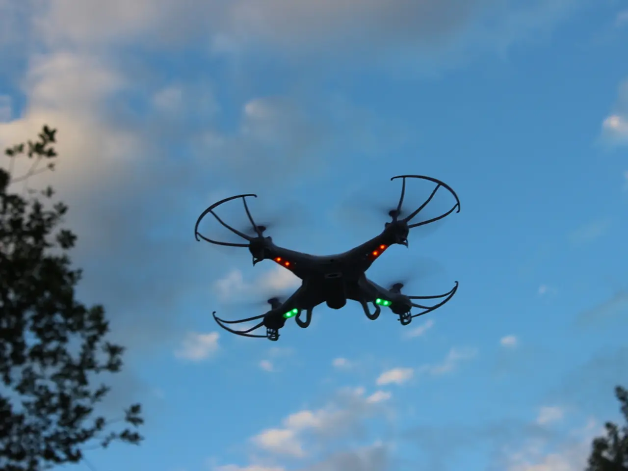
Maxar, AIDC Team Up to Enhance Drone Navigation in GPS-Denied Environments
Maxar Intelligence has partnered with Taiwan's Aerospace Industrial Development Corporation (AIDC) to enhance drone navigation in GPS-denied environments. The collaboration involves AIDC deploying Maxar Raptor, a vision-based software suite, across Taiwan's UAV industry, improving the reliability of autonomous systems.
Maxar Raptor uses real-time camera feeds and pre-existing 3D terrain maps to determine a drone's position and orientation, even in low-light conditions or low-altitude flights. This technology is vital as GPS jamming and spoofing capabilities increase, disrupting traditional satellite navigation. The partnership expands Maxar's defense technology offerings beyond conventional satellite imagery services.
AIDC will serve as a key distributor for Raptor, promoting its use across Taiwan's UAV suppliers and the Taiwan Excellence Drone International Business Opportunity Alliance. To demonstrate GPS-jamming resilience and unlock opportunities in Taiwan and Asia, Maxar Intelligence and AIDC will establish a Taiwan-focused integration and testing center.
By implementing Maxar Raptor, Taiwan's UAV industry can enhance navigation reliability in electronic-denied environments. This partnership showcases Maxar's commitment to broadening its defense technology offerings and AIDC's role in promoting advanced drone navigation solutions in Taiwan.


