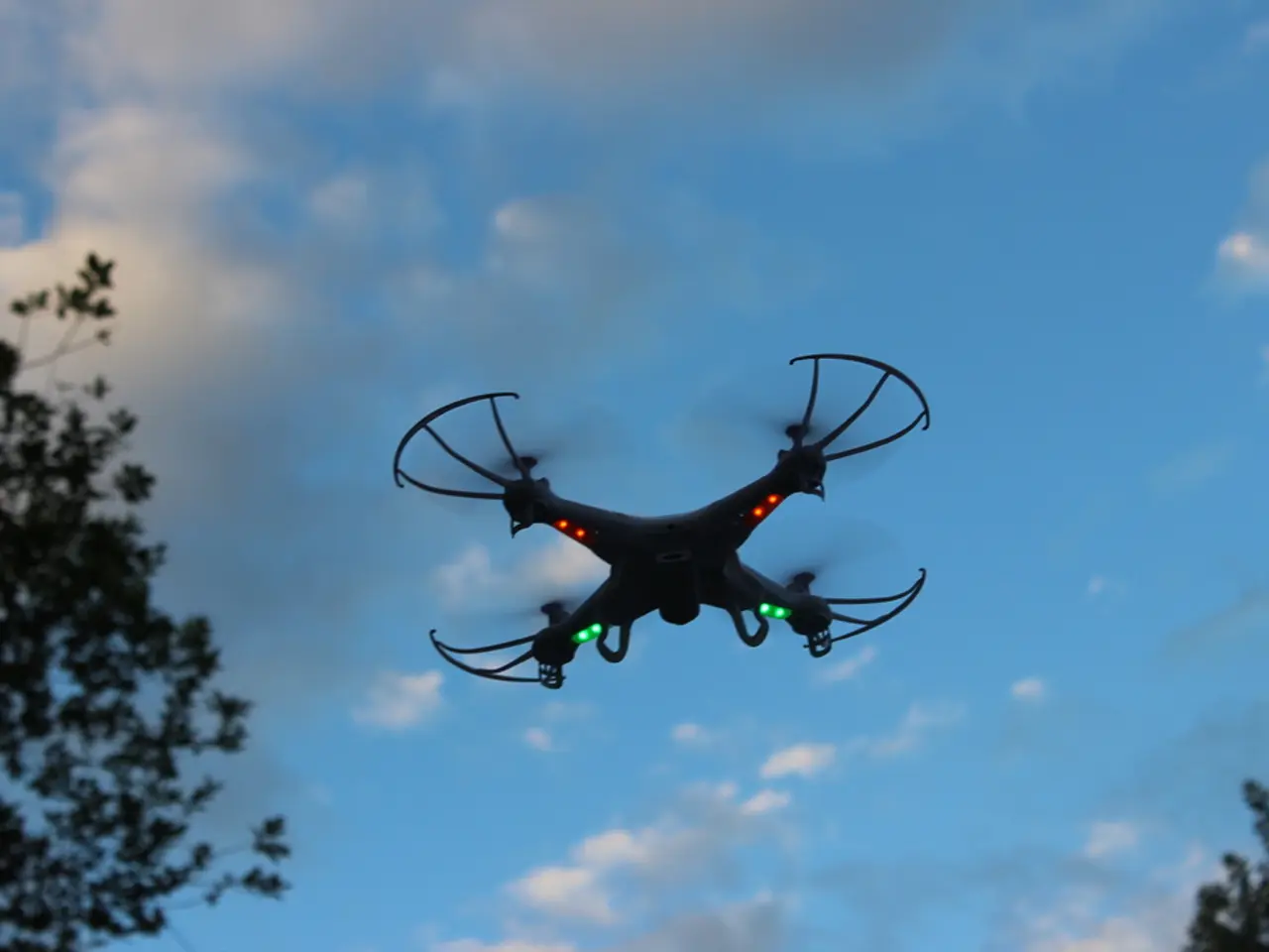
Drone altimeter precision: an assessment
In the realm of remote sensing, high levels of altitude accuracy are of paramount importance, particularly in applications such as aerial mapping or precision agriculture. This article delves into the various mechanisms used by drones to measure altitude and the factors that influence their precision.
The primary altitude measuring mechanism in drones is barometry. By measuring air pressure, these devices infer altitude, providing a general idea of the drone's height above ground level. However, barometric altitude can be subject to fluctuations due to changes in air pressure or temperature, often resulting in an accuracy of several meters.
For more precise altitude readings, ground control points (GCPs) can be utilised. These points are strategically placed in the survey area and help offset altitude inaccuracies, enabling centimeter-level accuracy in mapping applications. It is recommended to have at least 5 GCPs in a survey area, regardless of its size.
In urban areas, drone pilots must ensure their drones fly above the Minimum Obstacle Clearance Altitude (MOCA) to avoid tall structures. In controlled airspace, flights are typically restricted to altitudes below 400 feet AGL to avoid interfering with manned aircraft operations.
For casual drone use, altitude inaccuracies are rarely a concern. However, for mapping applications that require altitude accuracy of up to 10 feet, more precise methods are necessary. This can be achieved using GCPs or a ground station, which can provide centimeter-level accuracy.
When it comes to drone altimeters, the choice of sensor type and its accuracy depend on the drone’s application and sensor quality. Laser-based altimeters, also known as LiDAR, emit laser pulses towards the ground and measure the time it takes for the reflections to return. These sensors can achieve accuracies around ±2.5 cm at high update rates (e.g., 500 Hz).
Radar altimeters, such as 24 GHz altimeter radars, provide real-time altitude data by sending radio waves and measuring their reflection time. These radars offer precise altitude data but their exact accuracy depends on design and environment.
Periodic IMU calibration is essential for drone operation, regardless of use. It is recommended to calibrate the drone's IMU on a flat surface, away from electromagnetic interference, and to perform the calibration before the first flight, after a firmware update, and after a nasty crash.
Signs of uncalibrated sensors include being unable to hold a stable hover or the altitude reading not returning to zero upon landing. Basic IMU calibration is sufficient for casual use, while those who need more accurate altitude numbers will have to correct their data using "ground truth" techniques like GCPs or a ground station.
In conclusion, drone altimeters commonly use laser or radar methods for accurate altitude measurement, with laser altimeters achieving precision on the order of a few centimeters. The choice of altimeter and its accuracy depend on the drone’s application and sensor quality.
In the realm of drone technology, laser-based altimeters, like LiDAR, are utilized for more precise altitude readings, achieving accuracies around ±2.5 cm at high update rates. Meanwhile, for mapping applications that require altitude accuracy of up to 10 feet, ground control points (GCPs) or a ground station are recommended.


